La Porte County traffic cameras
Every live INDOT camera on I-94 and the highways through Michigan City and La Porte, NOAA’s cameras on the Michigan City lighthouse, and what the roads and the weather are doing right now. When a lake-effect band or a storm is coming, look before you drive.
I-94 cameras in La Porte County
INDOT has cameras every mile or two on I-94 from the Porter County line to the Michigan line, listed west to east. Each button opens INDOT’s own live view on TrafficWise, with the latest picture and live video. Where a spot has two cameras, each has its own view.
- I-94 at County Line RoadMile 32.6 · the Porter County lineCamera 1 ↗Camera 2 ↗
- I-94 at US 421Mile 34.6 · Michigan City; INDOT's road weather station cameraLive camera ↗
- I-94 at US 421Mile 34.7 · exit 34, Michigan CityCamera 1 ↗Camera 2 ↗
- I-94 east of US 421Mile 35.8 · Michigan CityCamera 1 ↗Camera 2 ↗
- I-94 east of Johnson RoadMile 37.1Camera 1 ↗Camera 2 ↗
- I-94 at Bleck RoadMile 38.3Camera 1 ↗Camera 2 ↗
- I-94 at US 20 and US 35Mile 39.9 · exit 40, to La PorteCamera 1 ↗Camera 2 ↗
- I-94 north of Warnke RoadMile 41.0Camera 1 ↗Camera 2 ↗
- I-94 at County Road 800 North (Tyron Road)Mile 42.0Camera 1 ↗Camera 2 ↗
- I-94 at the rest areaMile 42.9Camera 1 ↗Camera 2 ↗
- I-94 south of the Michigan lineMile 44.6Camera 1 ↗Camera 2 ↗
Michigan City and La Porte cameras
INDOT’s cameras at three state highway crossings in Michigan City and La Porte.
- US 20 at US 421 (Franklin Street)Michigan CityLive camera ↗
- US 20 at US 35, the east junctionnear I-94 exit 40Live camera ↗
- US 35 at State Road 2La PorteLive camera ↗
Every camera on a map
The map loads when you scroll here. Or open INDOT’s camera map ↗.
Blue: INDOT cameras (tap one for its links). Amber: the NOAA lighthouse cameras and the beach cam. Map pictures © OpenStreetMap contributors.
Michigan City lighthouse cameras
Three cameras on the lighthouse at the Michigan City harbor entrance, part of NOAA’s weather station there. The time is printed on each picture: NOAA takes new ones about every half hour in summer and a few times a day in winter. Tap a picture for the full size.
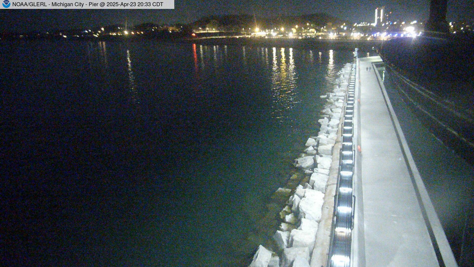

Pictures: NOAA Great Lakes Environmental Research Laboratory (GLERL), Michigan City station ↗, which also has the wind, temperature and the last 48 pictures. For the beach, see the Michigan City beach cam on our Lake Michigan page, and the Michigan City buoy’s camera ↗ from about 3 miles out.
Road conditions in La Porte County
Indiana’s official county travel levels (Advisory, Watch, Warning), set by each county: Indiana’s county travel map ↗
- INDOT TrafficWise ↗: crashes, closures, construction and, in winter, the plow cameras.
- Indiana Toll Road travel advisories ↗: TrafficWise shows no Toll Road cameras in La Porte County.
- Michigan’s Mi Drive map ↗: MDOT’s cameras on I-94 and US 12 into Michigan. Turn on Cameras in its menu.
- Alerts: official Weather Service warnings for La Porte County, what to do, and the scanners.
Live reports from drivers
Crashes, hazards, slowdowns and closures that drivers are reporting right now on Waze, the free traffic app from Google, around Michigan City and I-94.
The map comes from Waze. Waze’s own terms and privacy policy apply.
Reports come from Waze drivers, not from police or from us, and they can be wrong or out of date. In an emergency, call 911. Indiana’s hands-free law bans holding your phone while driving: check before you go or let a passenger look.
Weather on I-94 at Michigan City
The National Weather Service forecast for I-94 at Michigan City: watches and warnings, the latest reading at the nearest NWS weather station, the next 12 hours and the 7-day forecast. If it doesn’t load, see the NWS forecast for Michigan City.
Lake-effect snow can close one mile and not the next. A single band off Lake Michigan can drop the visibility on I-94 or the Toll Road to near zero while the next exit is dry. When the Weather Service issues a snow squall or lake-effect snow warning, check the cameras above before you go. Our guide to I-94 and Toll Road whiteouts and wind explains what to watch for, and the radar shows where the bands are.
Toward Chicago: I-94 in Porter County
INDOT’s next cameras west of the county line, through Chesterton and Portage, and one on US 30 in Valparaiso.
- I-94 east of US 20Mile 23.2 · Porter CountyCamera 1 ↗Camera 2 ↗
- I-94 at Wagner RoadMile 24.2 · Porter CountyCamera 1 ↗Camera 2 ↗
- I-94 at Waverly RoadMile 24.8 · Porter CountyCamera 1 ↗Camera 2 ↗
- I-94 at State Road 49Mile 25.8 · exit 26, ChestertonCamera 1 ↗Camera 2 ↗
- I-94 east of State Road 49Mile 27.4 · Porter CountyCamera 1 ↗Camera 2 ↗
- I-94 at the truck scalesMile 28.9 · Porter CountyCamera 1 ↗Camera 2 ↗
- I-94 at County Road 500 EastMile 30.6 · Porter CountyCamera 1 ↗Camera 2 ↗
- US 30 at State Road 2, the west junctionValparaisoLive camera ↗
Questions
Where can I see live traffic cameras in La Porte County?
INDOT runs them on its TrafficWise site (511in.org): 21 camera views at 11 spots on I-94, from County Line Road (mile 32.6) to just south of the Michigan line (mile 44.6), plus US 20 at US 421 and at US 35 in Michigan City and US 35 at State Road 2 in La Porte. Each one is listed on this page with a link to INDOT's live picture and video.
Are there cameras on the Indiana Toll Road in La Porte County?
Not on INDOT's TrafficWise map: when we checked on Oct. 14, 2026, it had no cameras on the Toll Road (I-80/90) in La Porte County. For the Toll Road, check its travel advisories, the county travel level and the Weather Service forecast on this page.
Is there a camera on the Michigan City lighthouse?
Yes. NOAA's Great Lakes Environmental Research Laboratory has three cameras on the lighthouse at the Michigan City harbor entrance: one looks back along the pier toward the shore, one north over the lake and one west toward the breakwater. Their newest pictures are on this page.
Is there a Michigan City beach cam?
Yes. Access LaPorte County's BeachCam looks out over the Michigan City lakefront, live. It's on our Lake Michigan page, with the waves, the swim risk and the water temperature.
How do I check the roads before I drive in La Porte County?
Check the county's travel level, INDOT's TrafficWise map for crashes, closures and plow cameras, and the Weather Service forecast and warnings for your drive. In lake-effect snow, I-94 and the Toll Road can go from clear to whiteout within a mile or two (why, and what to do).
Sources: INDOT TrafficWise (the camera list, read Oct. 14, 2026; if a camera link stops working, INDOT’s camera map has the current set) · NOAA GLERL, Michigan City station · Indiana county travel map · NWS Northern Indiana · Waze · OpenStreetMap